

Editor’s note: This month we are featuring work by historians that extend Beyond the Urban. This is our third post in the series.
by S.D. Hodell
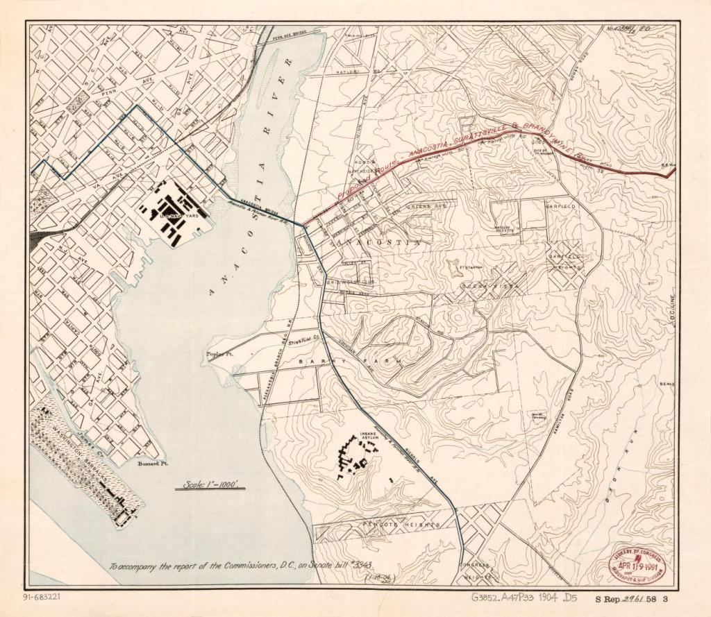
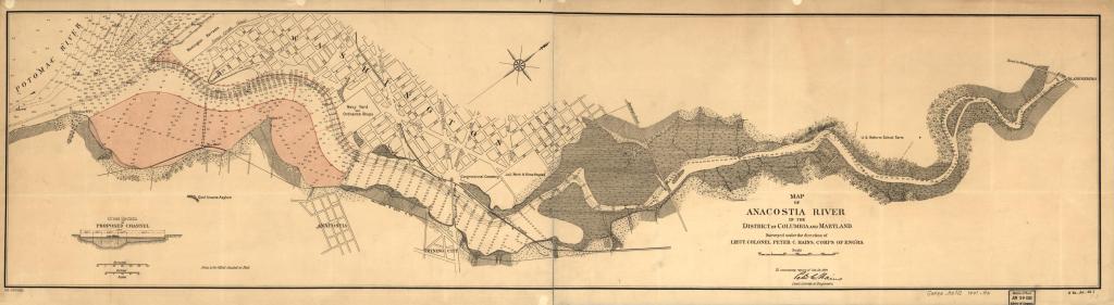
There are two main waterways in the Washington, DC, metro area: the Potomac and the Anacostia. The two rivers are a study in contrasts. The Potomac separates Maryland and DC from Virginia, flowing from Harpers Ferry, where Thomas Jefferson called its confluence with the Shenandoah River “one of the most stupendous scenes in nature,” to a crescendo at Great Falls, just ten miles west of the DC line. The long-polluted Anacostia bisects the District’s Potomac waterfront, segregating the majority-Black Southeast from the rest of the capital city. Bordered by Prince George’s County on the Maryland side, this triangular area, often simply called Anacostia, lies southeast of the river—a triangular relic from the 1840s repatriation to Virginia of Alexandria.
Rivers like the Anacostia form discrete borders. The Anacostia, in particular, is a demographic demarcation line separating Black and poor DC residents from the historically wealthier and whiter downtown and Northwest. A range of research has explored the acute, policy-enforced movement of Black communities across the Anacostia’s gradient of exchange and into Southeast. Although this process of displacement is documented from the mid-1940s on, commuter coordinate data from the 2000s and early 2010s appear to offer a clearer relationship between history and present challenges. Made apparent is the Anacostia’s evolution as both an environmental limit to be scaled as well as a commercial and political route to be navigated.
Concern for residential health animated the empty gestures of policy-makers. Tuberculosis rates were apparently up in Southwest by the late 1950s, attributed to congestion and a conglomeration of bodies downtown. The press editorialized views couched in the language of reform and modernization. A 1952 Washington Post series “Progress or Decay” by Chalmers Roberts depicts DC’s then-downtown Black belt in lurid, coded terms. “Overcrowded slums,” Roberts writes, “affect the health and attitudes of those who live there.” A scaled image of the Washington Monument cuts left of the heading margin: “PROGRESS OR DECAY?” its klaxon caption reads, “Washington must choose!”
The options policymakers and commentators tabled signaled mere degrees of distinction between progress and backwardness. In either case, plans for redevelopment allotted little to no room for Black life and property. To invoke Marx, the use-value of Black residents was to be de-prioritized in favor of state and commercial exchange-value—that is, the distance between those who use a commodity and those who trade in that commodity. In any case, liberal pearl-clutching on behalf of poor DC residents appears in the record as largely pretext, pandering, or both. In a clip published later that week, the same reporter, Roberts, takes to task a 1400-acre trapezoidal cut of the city center south of Florida Ave. as “blighted” and “ripe for redevelopment.”
For their part, Washington authorities did little to hide their lack of interest in the health of DC’s poorer residents. (As if to drive the point home, the Commissioners later established an open-burning dump at Kenilworth in Ward 7—among other insults to injury.) The anthropologist Brett Williams writes how, in “a burst of abusive state power,” the Commissioners instituted plans to trump up zoning and fire codes in Southwest and line the Anacostia River with shoddy public housing in Southeast.
The Commissioners’ plans, by all appearances, worked. At a 1952 White House photo-op, President Harry Truman met with RLA officials, a conclave at which the appointment of RLA directors to the commissionership was floated. According to reporter Roberts, the officials presented the president with prints of the Post’s very own “Progress or Decay” series. This constellation of local and federal figures around the emergent consensus regarding redevelopment echoed what the Post series itself proposed.
In hindsight, the meeting illustrates a key that unlocks a broader point: Washington authorities did, in the end, choose “progress”—at its most “peculiar,” exclusive, and commercial. In any case, the “pro-growth” model these voices endorsed was clearly at odds with the needs, desires, and use-values of lower-income DC residents. Communities were to be priced and policed out; many residents displaced to economic ghettos twice removed.
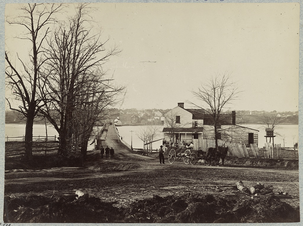
In particular, the Commissioners’ call for byways linking the banks of the Anacostia to the city cut a crucible through the heart of DC. The “Victory” South Capitol Street Bridge (renamed for Frederick Douglass twenty years later) was to anchor what became I–295 along extensions of juts linear to South Capitol Street and Pennsylvania Avenue. These junctions were designed to ease commuting by car; most automobiles were owned by middle-class, typically white, households.
In addition to increased smog, dust, noise, oil, and other pollution in the area, the newly-built roadways threw up a barrier whose significance was not lost on Black and poorer residents. In a 2001 paper, Brett Williams recollects the words of Nap Turner, the East DC blues musician. Turner compares the construction of the Anacostia Freeway, completed in 1964, to the Berlin Wall. “It meant the about the same thing,” said Turner.
Proud DC residents often point to the establishment of Metro in the 1970s as a bulwark against transit inequality. It is true that Metro moves hundreds of thousands of commuters a year, many of whom live in households under Greater DC median income levels. Nonetheless, residents east of the Anacostia still face greater difficulties reaching the rest of the District compared to other parts of Greater DC. A Washington Post article from 2017 lays bare the disparities plainly and precisely. “While several wealthier neighborhoods and suburbs have relatively easy access to job centers,” its authors write, “many lower-income neighborhoods on the eastern side of the District and across the border in Maryland [Prince George’s County] are more difficult to reach.”
On a local level, the Anacostia separates DC Wards 7 and 8—colloquially called Southeast, more often simply referred to as Anacostia—from the rest of the District. Southeast DC is home to over 160,000 residents, a relatively high number of whom live in households making under $35,000 a year. Using data from the DC Department of Transportation, the authors note that residents of the almost entirely Black Ward 8 have the longest commutes among DC residents, totaling an average of just under fifty minutes during non-peak hours. Wealthier areas more geographically distant from the city center fare much better. A Red Line WMATA train from the Maryland suburb of Silver Spring in Montgomery County reaches the White House in less than twenty minutes during peak hours.
DC’s 1973 home rule charter prohibits local government from levying a “commuter” tax on automobile owners who drive into the city for work, cutting off potential revenue from the surrounding Maryland and Virginia suburbs. (Montgomery County to the northwest and Arlington, Fairfax, and Loudoun Counties to the southwest are home to some of the wealthiest households in the country, many members of which are federal employees.) Widespread, bipartisan political consensus in both states has blocked any attempts to amend the home rule charter, on multiple occasions. Because of disparities in population, among other things, DC has a limited tax base.
It remains to be seen what present outcomes for Southeast may be. The data used in the 2017 Post article seems to indicate structural imbalances are getting worse. DC Office of Planning data from 2010 indicates that, at that time, mean commute length from Ward 8 was just under forty minutes, considering both private and public transportation.
It is a dictum of history and cartography that maps are not the territories they represent. DC has always been a place where the state, to quote Brett Williams, “lies massively on the land.” In invoking this claim, however, it is just as integral to consider the waterways that separate the land as well as the communities who reside there. In the case of DC at least, bodies of water—like the banks and flows of the Anacostia—have engendered a range of federal, local, and commercial gazes to interact, in a microcosmic “destiny” made manifest. Of course, fate is never a driver of history; it was policy choices that, in the end, served to displace a generation of DC’s Black and poor residents.
Daily commutes are the rituals in repeat of labor; they reflect flights and flows of human capital across environments both natural and constructed. The complexities of these “commuted” exchanges are no better evidenced than by the challenges posed to DC residents who live around and cross the Anacostia River daily. These workers reenact and redramatize histories in miniature. Postwar and present stories of Southeast are joined not so much by a simple binary view of “good versus wealth” or a diameter of people against and across from power. Though the latter theme provides a lens that shouldn’t be discarded; any narrative drawn need not be one that elides poor and Black people as mere “victims of government,” passive actors in alienation.
Ultimately, the Anacostia is a river through which diffuse waters and colors run; it is an index and exponent of the North American natural world as both a contradiction and as a commodity. The Anacostia, like all rivers, draws itself along the exigencies of the market—between what Marx first called use-value and exchange-value. The river itself begs the question: Who is it that “owns” the land and to whom is the land owed? The same might be asked of the state and place beneath and between which the land lies.
S. D. Hodell is a writer and early-career historian, focusing on sound, class, and environment within trans-Atlantic imaginaries. Recognized for research in American cultural history at George Mason University, he is pursuing graduate study in history at the University of Connecticut. Bridging disparate interests in ethnofiction and ecocriticism, he has published in Ars Technica, Dissent Magazine, and others.
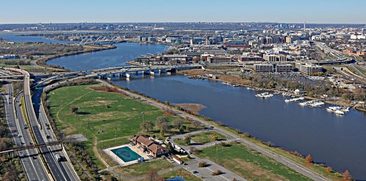
Featured image (at top): Anacostia River in SE Washington (2022) Duane Lempke, photographer, Wikimedia Commons, CC BY-SA 4.0 DEED.
